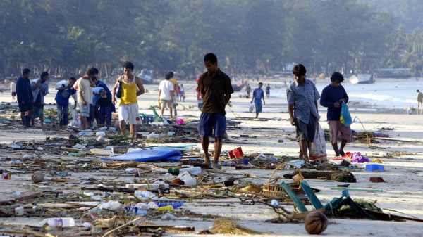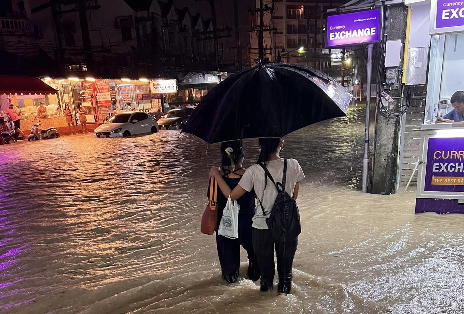
Brollies at the ready, the wet weather is set to make a return from Sunday, according to the Thai Meteorological Department. According to the TMD, most of the country will be affected by heavy rainfall from Sunday, July 16, lasting until Thursday, July 20. So far Thailand’s wet season has not delivered the average rainfall, including in Phuket, despite last weekend’s flooding in areas around the island.
According to the TMD, this is the result of a strong monsoon trough moving down to the North, Northeast, and upper Central Thailand, before becoming an active low-pressure cell over the South China Sea.
Meanwhile, across the Andaman Sea, the South, and the Gulf of Thailand, the strong southwest monsoon will prevail. Much of the country can expect heavy rainfall, with isolated very heavy showers in the North, Northeast, Central region, the East, and the South.
The TMD urges residents to beware of severe conditions that could lead to flash flooding and overflows, particularly near waterways and lowland areas.
In the Andaman Sea, waves could reach between 2 and 3 metres in height, due to strong winds, while in the upper Gulf, waves could be above 3 metres high during thundershowers. In the lower Gulf, waves are expected to reach 1 to 2 metres in height, rising to above 2 metres during thundershowers.
Ships are advised to proceed with caution, while small boats in the Andaman Sea and upper Gulf are advised to remain ashore. The TMD says all those concerned should listen out for further updates.
SOURCE: Thai Meteorological Department